Discovery Routes Adventure Trails Map (2020)
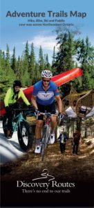 Featuring:
60 Hiking Trails; 5 Cross-country Ski Trail Networks; 9 Paddling Routes; 16 Bicycle Touring Routes, plus information on where to Mountain Bike, Fat Bike and Snowshoe. Includes
2 Signature Routes, the Voyageur Cycling Route and Trans Canada Trail.
Map Geography: Almaguin Highlands, Loring/ Restoule, North Bay to Mattawa, West Nipissing, Sudbury East
We can mail a copy for the cost of shipping and handling.
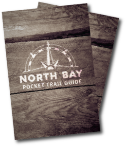
Tourism North Bay has put together a convenient pocket-sized trail guide listing details of 9 local hiking trails and suggests some great local paddling day trips around North Bay. Pick up a copy at the Discovery Routes office – 205 Main Street East, North Bay. We can also mail you a copy together with the Adventure Trails Map for the cost of shipping and handling.
Explore South River Pocket-Map (2020)
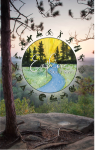 Covering the area in and around South River and Machar, this beautiful Explore South River pocket map highlights all of the amazing places to enjoy adventure, nature, art, hidden gems, local tastes, products & more all in one perfectly pocket sized little package.
Trail Guide to Healthy Living (2008)
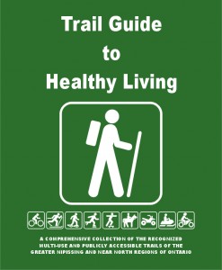
Discovery Routes and regional trail partners have assisted the Greater Nipissing Stewardship Council in the creation of the “Trail Guide for Healthy Living”. Published in 2008, the trail guide was a collaborative project between trail groups, trail owners, and trail managers to further expand the information available to local trail enthusiasts. The guide features over 200km of trails from Mashkinonje Provincial Park at the western arm of Lake Nipissing to Mattawa in east and Magnetawan in the south.
The guide is no longer in print, and only a limited number of copies are still available. Stop by the Discovery Routes office in North Bay to pick up a copy or alternatively, you can order them online for the cost of shipping and handling.
Other Trail Maps and Local Guides
Many local trail managers have put together some beautiful trail resources. Any of the following are available at the Discovery Routes office. If you are not able to visit us in person, we would be happy to send you any of the following publications for the cost of shipping and handling.
- Laurentian Escarpment Conservation Area Trails produced by the North Bay-Mattawa Conservation Authority
- Laurier Woods Conservation Area produced by the North Bay-Mattawa Conservation Authority in partnership with the Friends of Laurier Woods
- Corbeil Conservation Area Trails produced by the North Bay-Mattawa Conservation Authority
- The Fire Tower Trail interpretive pamphlet produced by Restoule Provincial Park
- Mashkinonje Hiking Trails (2008), trail map produced by Friends of Mashkinonje Provincial Park
- Mattawa River Provincial Park, map pamphlet produced by Ontario Parks
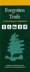
- Forgotten Trails of South River Area Map (2012), This trail map is produced by the Forgotten Trails Association.
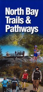
- North Bay Trails and Pathways Map (2012) This map is out of print but still available for download. It highlights walking and biking trails in the City of North Bay.
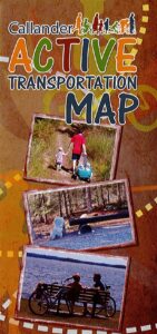
- Callander Active Transportation Map (2013) Online PDF map only.
